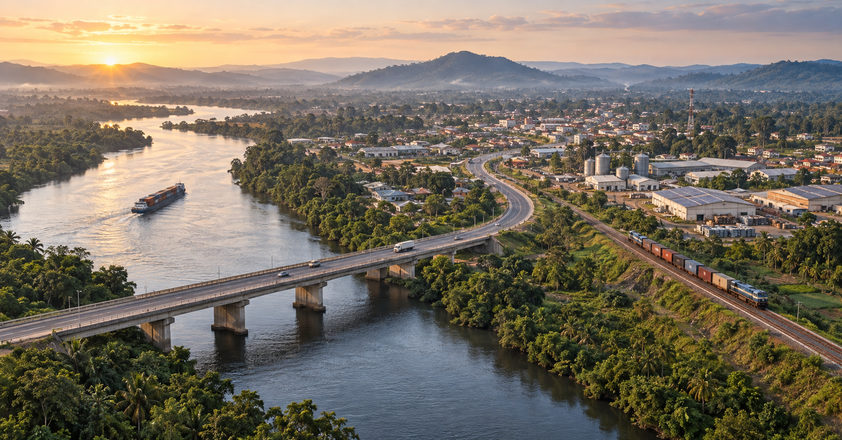
The question is not simply how to build more roads in the Democratic Republic of the Congo. Production areas need reliable links to markets, ports, power and digital networks. In his article on connecting the country's 26 provinces, Fernandez MURHOLA proposes the Sustainable Connectivity Plan for the 26 Provinces (PDD-26). This summary sets out its six main ideas.
The PDD-26 is the author's proposal, not an adopted government programme. Its institutions and corridors would require feasibility studies and decisions by the competent authorities.
1. A national connectivity atlas
Before setting priorities, planners would need reliable information on roads, navigable waterways, railways, ports, airports, power networks and digital infrastructure. The proposed atlas would combine those records with data on farming areas, mining regions, towns, markets and risks. A road drawn on a map does not show how many months it remains usable or what it costs to move a shipment along it.
2. A measure of the cost of isolation
Poor connections raise prices and reduce producers' income. The proposed National Cost of Isolation Index would measure transport costs and travel times by area, seasonal reliability, post-harvest losses, the cost of transferring cargo between modes, and access to power, digital services and markets. This is not an official national indicator. Its methodology and underlying data would need to be public.
3. Five multimodal corridors
The PDD-26 treats a corridor as a set of road, rail or waterway links, supported where needed by logistics facilities, electricity and fibre-optic connections. It proposes five broad axes: an Atlantic gateway, a central and northern agricultural and forestry route, a southern mining route focused on processing, an eastern route designed around local risks, and a cross-country connection between the Atlantic and Lake Tanganyika. Routes and investments could only be finalised after feasibility studies.
4. Productive secondary towns
A corridor that merely passes through a region can speed up raw-material exports without creating local jobs. The proposed secondary logistics and industrial towns would bring together storage, agricultural processing, power, training and digital services where local conditions support them. Their location would depend on production potential, land, security and access to markets.
5. A territorial integration check
The proposed Territorial Integration Visa would test whether a major project fits a coherent national and provincial plan, has realistic financing, and accounts for maintenance and environmental effects. The article also considers using it to record where goods originate and how they are processed. Such a system would need to be transparent and proportionate, without adding another costly administrative barrier.
6. Long-term planning and oversight
The author proposes a multi-year planning law and considers a dedicated agency and fund. Their roles would have to be defined carefully, with public finance rules observed. No funding should be released without a prepared project, a study, oversight and a maintenance budget.
Success would not be measured by opening ceremonies. It would be measured by producer-to-market travel times, freight costs, trade between provinces, local processing, reliable power and the condition of maintained infrastructure.
The PDD-26's central aim is to connect all 26 provinces so that value created in one part of the country can support a shared national market.