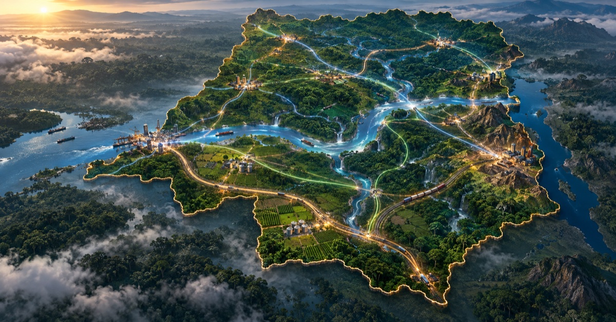
The Democratic Republic of the Congo has substantial resources and transport routes. Yet a product can remain stranded near its place of origin while a distant market relies on imports. This article proposes the PDD-26 as a planning framework to connect the country's 26 provinces and retain more value within them.
An article by Fernandez MURHOLA
Development planning expert and rural development technician.
Kinshasa, 25 September 2026
The Sustainable Connectivity Plan for the 26 Provinces (PDD-26) presented here is the author's proposal. The corridors, institutions, budgets and deadlines described below are neither approved public projects nor achieved results. They would need studies and decisions by the competent authorities.
A geography to connect, not merely to cross
The Democratic Republic of the Congo covers about 2.345 million square kilometres and has 26 provinces. It also has more than 25,000 kilometres of navigable waterways. The World Bank describes the Congo River as the spine of the transport system. This geography could bring farming areas, cities and ports closer together. It often fails to do so when roads, waterways, railways and power networks do not connect effectively.
A farmer earns less when produce travels slowly and spoils on the way. A consumer pays more. A factory imports goods it might buy from another province. Distance matters, but poor connections between modes of transport can cost even more.
The PDD-26 asks how the country might move beyond isolated projects and build a network that lets provinces produce, process and trade with each other. Its proposed sequence is to connect isolated areas, link networks, produce, process, export and integrate.
1. Measure isolation before building
The first task would be a regularly updated national connectivity atlas. It would record the actual condition of roads, seasonal navigability, railways, ports, airports, power and digital networks, production areas, and climate and security risks.
The length of a road shown on a map tells only part of the story. Planners need to know how many months a year it remains passable, what loads it can carry, how long a trip takes and what it costs to reach a market. A road without a logistics facility, a port without a land connection, or a farming area without cold storage delivers only part of its potential benefit.
I propose a National Cost of Isolation Index to measure, for each province and economic area, freight costs and travel times, seasonal reliability, post-harvest losses, access to power and digital services, administrative charges, and the cost of transferring cargo between modes. This index is a proposal, not an existing official measure. Its methodology should be public and its data verifiable.
National planning must respect decentralisation. Articles 3, 181 and 204 of the Constitution address local self-government, the National Equalisation Fund and provincial powers, including cooperation between provinces. A shared plan should coordinate provincial projects, not replace them.
2. Study five corridors as complete systems
A corridor should not be defined by a road alone. Where studies justify them, it could include road and rail links, waterways, electricity, fibre-optic cables, logistics facilities, processing zones and maintenance arrangements. The routes below are proposed areas of study. Their alignments, land requirements, costs and feasibility remain to be established.
CSM-1: an Atlantic gateway
Banana, Boma, Matadi, Kinshasa and Kenge. This corridor would link port facilities to warehouses, customs services, industrial zones and domestic markets. Building or expanding a port without organising its access routes would merely move the bottleneck. The aim would be a coherent port and logistics system, with road, rail, power and digital links sized to actual traffic.
CSM-2: market access for the central and northern regions
Kinshasa, Mbandaka, Boende, Kisangani, Buta, Isiro and Dungu. The river and its tributaries would be central to this proposal. Navigation markers, safety measures, targeted maintenance, landing facilities, warehouses and cold chains could reduce losses and improve reliability. The aim would be to connect agricultural and forestry producers to processing facilities and markets, without assuming that waterways are free to operate or usable everywhere throughout the year.
CSM-3: more processing near the sources of raw materials
Kolwezi, Kananga, Mbuji-Mayi, Mwene-Ditu, Kabinda and Kisangani, with a branch towards Lubumbashi and Sakania. This corridor would link production sites, power supply, railways, inland freight terminals, technical training and industry. The purpose is not simply to ship minerals faster. It is to make local processing viable, sector by sector, in line with environmental obligations.
CSM-4: connect the east while accounting for risk
Kisangani, Bunia, Beni, Goma, Bukavu, Uvira and Kalemie. Eastern Congo has agricultural, commercial, mining and lake-based activity, but also security constraints and natural hazards. Studies would need to consider all-weather roads, multimodal facilities, decentralised power, cross-border markets, civilian protection and resilient structures. An economic corridor cannot succeed without security, maintenance and land safeguards.
CSM-5: connect the Atlantic to Lake Tanganyika
Banana, Kinshasa, Bandundu, Boende, Kisangani, Kindu, Kongolo, Kalemie and Moba. This cross-country axis would bring together areas now separated by long logistical breaks. Major bridges and transfer facilities would be assessed for their effect on trade between provinces, not just local traffic. Choices between road, rail and navigation should depend on field studies and expected freight volumes.
3. Make secondary towns places of production
A corridor that crosses a region without creating local activity repeats the old extraction model. The PDD-26 proposes studying secondary logistics and industrial towns at junctions between production areas and transport networks. Boende, Inongo, Buta, Isiro, Kabinda, Lusambo, Kabongo, Kasongo, Kibombo and Dekese could be among the towns considered. This is neither a ranking nor a decision about where to invest.
Selection would depend on population, water, power, land, security, market access and climate risks. The population threshold of 50,000 mentioned in the proposal is only an indicative planning figure. The same size should not be imposed on every area.
Depending on their role, these centres could combine warehouses and cold storage, processing workshops, vocational training, digital services and local power generation. A farming region should be able to dry, preserve, package or process some of its harvest before paying to transport it over a long distance. More value would move, with less waste.
4. Process and export without creating new barriers
Encouraging local processing does not mean imposing one rate on every product. Sectors differ in technology, electricity requirements, markets and trade commitments. The PDD-26 proposes gradual objectives set for each sector after study. The 30% figure sometimes raised in this debate should not be presented as a general obligation or a guaranteed result.
A Territorial Integration Visa could record a product's origin, processing, traceability and environmental effects. The same principle could help check whether a major public investment fits the territorial plan and has a maintenance budget. It must not become another costly procedure: any system should be digital, transparent and proportionate.
The DRC has an interest in diversifying its Atlantic, eastern and lake routes and connecting production areas to African markets. In that context, the African Continental Free Trade Area offers a chance to develop regional value chains, not an automatic guarantee of competitiveness. Lower freight costs would have to be demonstrated for each route and flow. A 30% reduction would be a target to test, not a saving already achieved.
5. Connect power, digital services and land-use planning
Where appropriate, physical corridors should also carry fibre-optic cables and electricity lines. Provinces, ports, border crossings, schools, health centres and businesses cannot benefit fully from goods transport if information and power cannot reach them. A technical target such as 400 Gbps for a national digital backbone should be adopted only after traffic and capacity studies.
Power planning should combine large projects, local generation, solar energy, storage and mini-grids according to local needs. A generation project is valuable only if electricity can reach households and workshops. Corridor routes should be coordinated with provincial planning instruments and the national spatial planning scheme, which is still being finalised. The ministry presents the scheme as a planning tool; its completion should not be assumed.
6. A twenty-year programme with oversight and revision
A proposal of this scale would need a planning law consistent with the Constitution, public finance laws and provincial powers. A twenty-year horizon would provide continuity without making the programme unchangeable. Parliament, provinces, relevant courts and citizens should be able to track choices, contracts, costs and outcomes.
A National Connectivity Agency is an option, not an automatic prerequisite. Before adding another institution, policymakers would need to identify what existing bodies cannot do and avoid overlapping mandates. A National Connectivity Fund could bring together public allocations, concessional finance, partnerships and other resources earmarked by law, subject to budget rules. The National Equalisation Fund could contribute only within its constitutional mandate.
The scenario of US$2.8 billion to US$3.5 billion a year mentioned in this article is not an approved budget. Independent modelling would be needed to assess fiscal capacity, costs, macroeconomic effects and risks. Funds should not be released without studies, oversight and maintenance provision.
The proposed timetable begins with twelve months of preparation: an atlas, infrastructure inventory, traffic studies, environmental and social assessment, land records and baseline indicators. Years 1 to 5 would prioritise the Atlantic and southern mining corridors. Years 3 to 8 would examine the cross-country link. Years 6 to 12 would focus on the central-northern and eastern routes. The phases intentionally overlap; each would depend on the results of earlier work and on security and financing conditions.
Success would be measured less by opening ceremonies than by lived results: the share of economic centres accessible year-round, freight cost per tonne, producer-to-market time, multimodal freight, the volume processed locally, reliable power, digital connection quality, jobs, trade between provinces and the share of the network properly maintained.
From a map to a national market
The PDD-26 is not a list of projects ready to start. It asks a shared question of public authorities, provinces, businesses and citizens: what network would allow production in one region to benefit the country as a whole?
A road on its own will not end isolation. Neither will a port without inland access, a power plant without a distribution network, or an industrial area without markets. Planning transport, production, energy, digital connections and maintenance together would give the 26 provinces a better chance to form one national market.
Connect isolated areas, link networks, produce, process, export and integrate: that is the proposed direction.
Sources and context
- World Bank study of the Congolese transport system: the Congo River, navigable waterways and connections between transport modes.
- Revised Constitution of the DRC, published in the Official Journal: provincial powers, equalisation and cooperation between provinces.
- Ministry of Spatial Planning, national spatial planning scheme: progress on the national planning instrument.